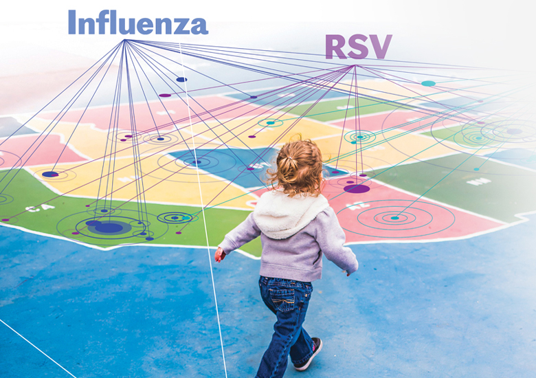
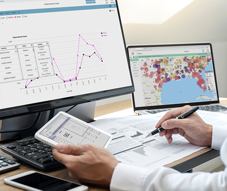
Interactive Map
Imagine a world where you can spot respiratory infections
around you before it’s reported in the news
Interactive Flu Map
Interactive COVID-19 Map
*Indication of prevalence in interactive maps are reported from Virena.
TRACK MORE THAN JUST FLU AND COVID-19
Our mapping also tracks RSV, hMPV, Strep A, Bordetella, Lyme disease and more, ultimately improving global healthcare.
Prevalence down to the county level
Use the interactive map to see prevalence in your state or county and even compare past seasons.